- Vector Graphics Software: Adobe Illustrator
- Geographic Information System: ArcGIS, QGIS
- Data processing software: Python, SAS, R

Big data
The digitisation of tools and processes has led to an exponential growth in societal data, including data on users of transport modes. Some of this data is becoming a key resource for understanding and managing traffic flows.
In Detail
Stratec very early on developed partnerships with private-sector players (telecom operators, network managers) to extract and leverage large volumes of data in order to produce insightful analyses, while maintaining its independence to advise its clients with full objectivity. The main challenge in this type of work is to optimise processing to obtain relevant information within a reasonable timeframe.
For example, on a daily basis we use digital data such as FCD (floating car data) or FMD (floating mobile data) to measure users’ speeds, levels of congestion and origin–destination patterns. Complementing traffic counts scattered across networks, this data supports specific use cases and enables new applications for traffic and mobility monitoring at different scales.

Communication
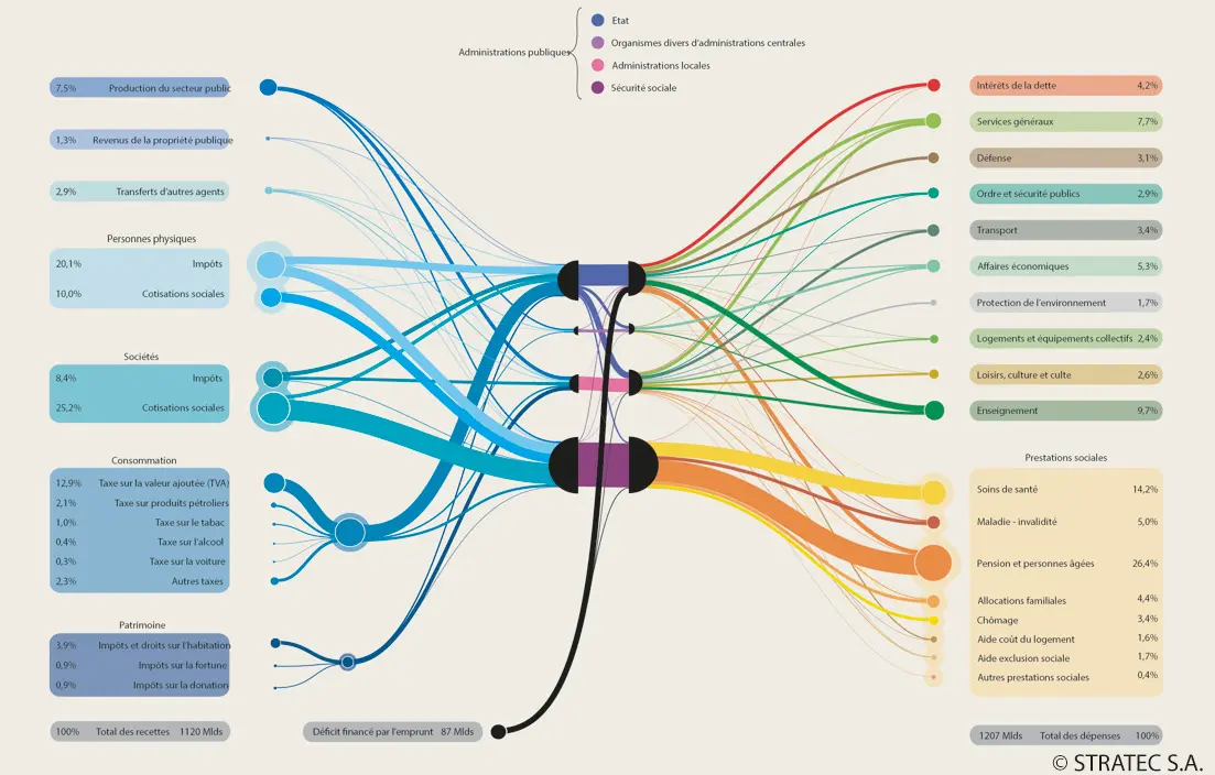
The presentation of analyses in a communicative format (diagram, table, map, etc.) is also a significant aspect mastered by Stratec’s employees.
Our Main Tools

Contact
Questions, a specific need? Speak to our expert now
- Batiste Galliez
- b.galliez@stratec.eu
- Head of Studies
- +32 2 738 78 63