Study on the rationalization of road signs
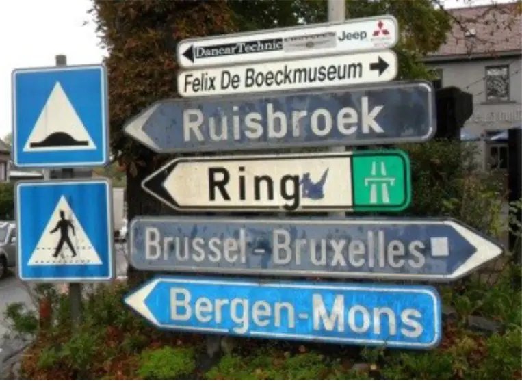
For several decades, the Brussels Region has faced a proliferation of road signs, resulting in a lack of clarity for users, visual pollution, and obstacles for active travel modes.
To address this, the Region sought the support of a specialized team to define a rationalization plan for posts and signs on its roads, with three objectives: increasing road safety, clearing public space, and optimizing costs.
Location: Brussels-Capital Region
Client: Brussels Mobility
Date: 2021-2023
Partner: Vias Institute
Context
Stratec took charge of the “field surveys” portion, providing data for the action plan development by Vias Institute.
The focus is initially on regional roads, although connecting municipal roads are integrated into the overall reflection on signage rationalization along the axis.
In total, nearly 300 km of roads, 200 intersections, and approximately 40,000 road signs were investigated by our team.
In practice
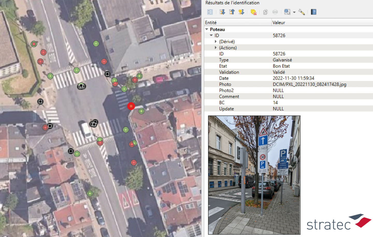
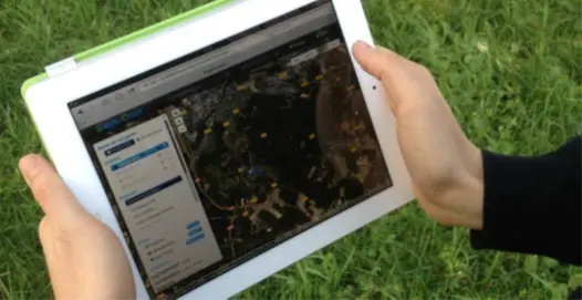
Surveyors traveled on foot or by car, equipped with GIS tablets to locate and characterize every post, sign, or road marking, taking photos to support their observations. The collected data includes the identification, type, and condition of signs and posts, as well as that of the markings.
Rigorous quality control completes the work: inconsistency tests, statistical analyses, and spot checks via photos or Google Street View.
Results
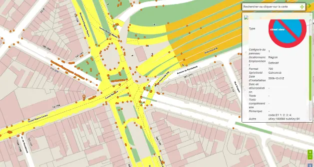
The mission resulted in the creation of a georeferenced and photographic database, GIS-compatible and integrated into the e-sign platform.
Detailed summary maps developed by zone informed the reflections for a rationalization plan carried out by Vias Institute.
These tools constitute a valuable dashboard and roadmap for the road manager.

Contact
Questions, a specific need? Speak now with our expert
- Eléonore Baranger
- e.baranger@stratec.eu
- Director of Studies
- +32 2 738 78 62